Water Lane
Stories about Water Lane
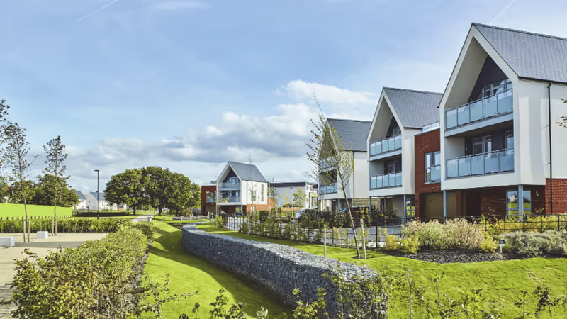
Liveable Exeter “garden city” branding is about government funding, not green space
New Exeter Local Plan policy “principles” have little in common with historic vision revitalised for 21st century by TCPA for government programme, while consented Haven Banks scheme and proposed new town near Exeter Airport have even less.
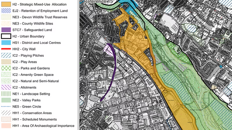
Water Lane SPD consultation opens in parallel with local plan survey
Policy intends to provide development framework and design code for 90 acre site on which 1,600 new dwellings plus employment space expected by 2040.
, updated
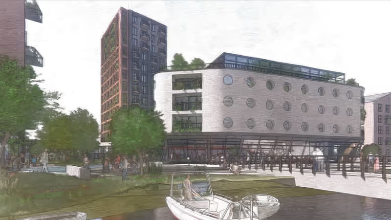
Water Lane redevelopment outline plans submitted to city council for approval
Up to 980 dwellings and 40,000m2 of other uses including student accommodation, workspace, education, retail and a hotel envisaged on ex-industrial site between railway embankment and the canal.
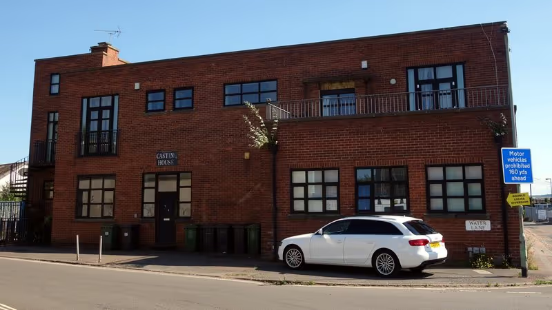
Compulsory purchase of flats and disposal of council land to enable Water Lane development site access
Exeter City Council to use powers to provide developer with land for new highways layout at gateway to proposed low-traffic neighbourhood.
Flood risk threatens to sink Haven Banks redevelopment plans
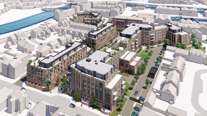
Proposals for 434 rental units accommodating up to 1,167 people on 1.7 hectare Liveable Exeter site would deliver extreme housing densities that deny amenity to prospective occupants while inflicting significant impacts on existing residents.